Exhibition: The Map and the Territory
NARS Foundation
New York, US
Oct. 5, 2018 - Oct.26, 2018
Curatated by: Tansy Xiao
The Map and the Territory is a group show featuring multiple New York-based artists of varying backgrounds. Each of them has rediscovered both the geographical and conceptual notions of maps, as well the powerless and absurd nature of territories. In presenting the glories and defeats of intercultural communications, the show explores the boundaries between the accessible and the inaccessible, the seen and the unseen. Ultimately, to question the reality that we live in.

Artists: Alicja Gaskon, Meir Gal, Mark Amerika, Mitch Patrick, Joyce Kozloff and Bonam Kim.
Unlike the varying ideologies and beliefs, national identity is probably the only thing that the majority of the population, despite their different statuses, were never taught to doubt. However with 2 billion active users, Facebook as one of the largest social media platforms now has more population than 3 of the world’s biggest countries. Throughout my travels around the world, I’ve noticed two universal scenes across the globe: beaches, and malls. Online vacation photos are our new compulsive freedom. The Map And The Territory is a collective representation of the anxiety we feel under the glories and defeats of globalization. Each artist provides their own perspective to question the status quo: the fact that the world population is divided into 195 countries and were assigned different territorial, financial, and human rights, yet celebrate the same ecstasy of entertainment that was sold to us as another commodity.
As Alicja Gaskon cut a globe into pieces to build a helmet, and Joyce Kozloff pasted tanks onto the current world map as the latest step of the power expansion of the United States, many artists in the show have addressed the impact of military activities as a major force which contributed to the making of the borders and nations that we know today.
Borders do not solely exist between countries, but also within countries. With the absence of museums in Israel on aerial photographs, Meir Gal criticized the censorship of the disclosure of military secrets, as well the non-resistance and even collaborations between cultural institutions and the state. The repressive state apparatus decides what shows in our feed on social media and what’s hidden, to ensure that we perceive the world through images that are deemed appropriate by the state in accordance with their vision. On the other hand, multinational enterprises have obliterated borders and turned the exploration of new territories in outer space into another economic warfare. Mitch Patrick’s 3D-printed pixelated photograph from the raw image feed from NASA’s Curiosity Rover on Mars is a subtle reminder that it was the same federally funded research and development center who propagated the terminology of today’s pixel that also helped design and manufacture the spacecraft on Mars.
There are also pieces with a dark sense of humor. Bonam Kim has built miniature sport games that are impossible to score for either side in order to express the frustration of communication between different cultures. Mark Amerika utilized Google Street View’s online mapping program to create a rich field of morphing glitch aesthetics that reveals the way online technologies stitch new forms of reality into what passes as a representation of the real.
 Dividing Lines: The Combat Helmet, cardboard, print, plaster, silicone, in acrylic case, 14x16x13 in (35.5x40.6x33cm), 2017
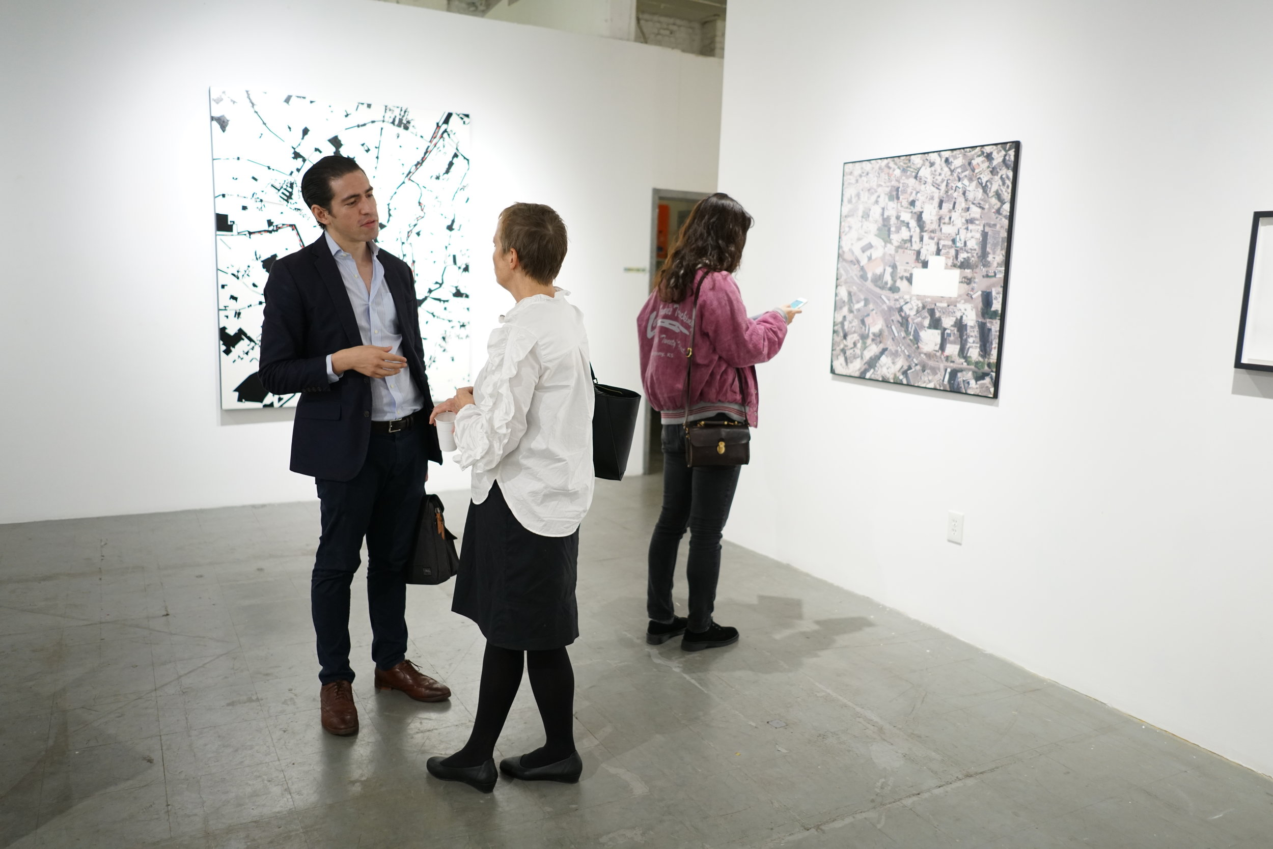
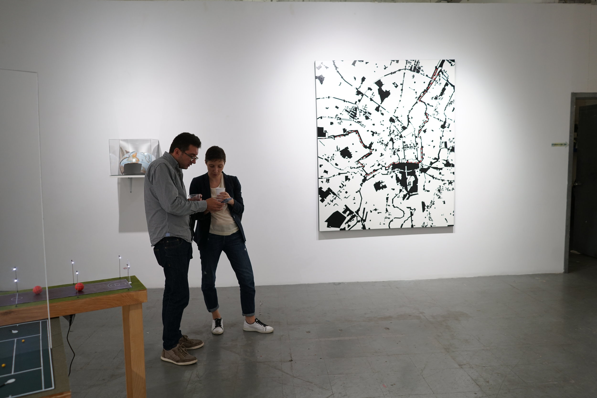

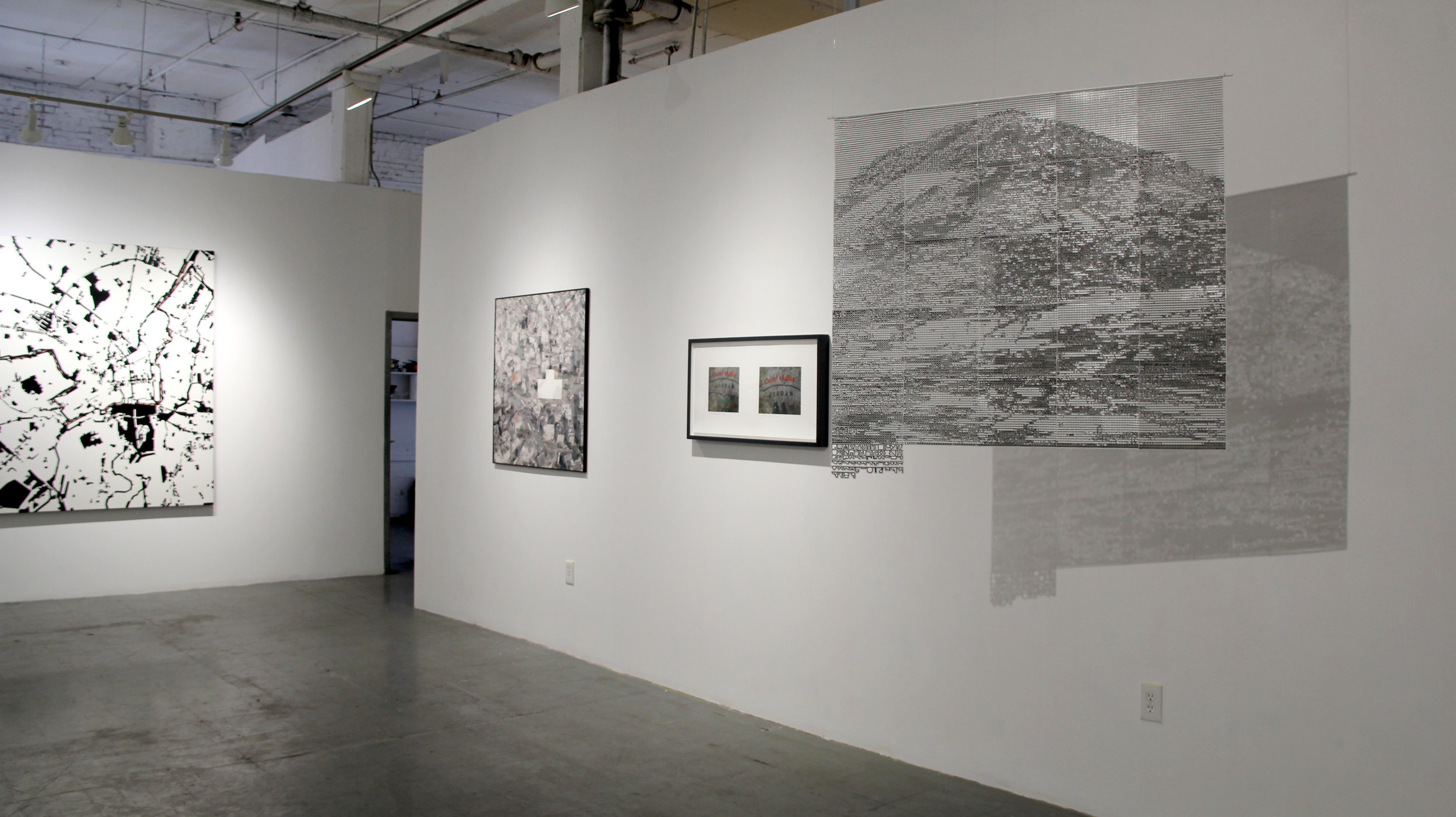
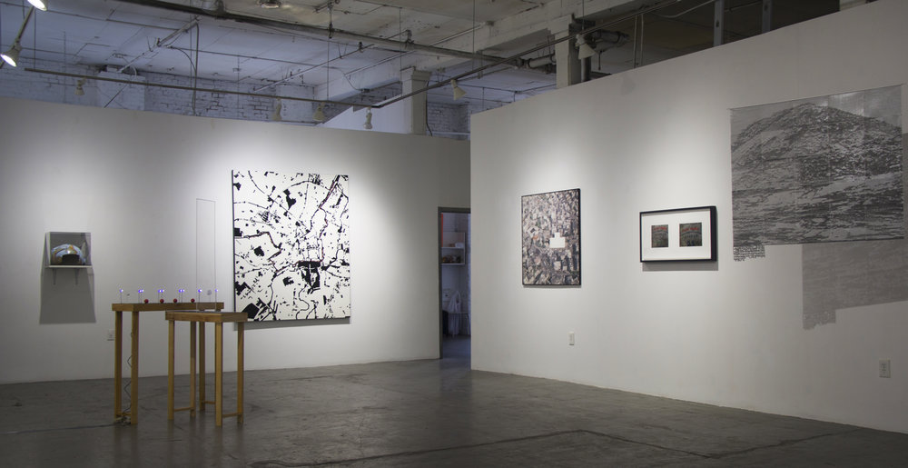
Exhibition view of The Map and the Territory, NARS Foundation, New York, US, Oct.2018